Mountain Guides
Trek Mount Bella Vista
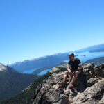
A very different experience from the rest. Being away from the tourist trails, we will find a very calm and appropriate environment to connect with nature. Its summit will give you a 360º panoramic view and you will understand why the hill has this name. You will observe beautiful lakes and hills of our Patagonia.
Difficulty: Medium+
Route (round trip): 8 km.
Dates: All year
Summit height: 1,800 masl.
Duration: Full Day (3/4 hours one way)
Points of interest: Tambo Báez, Lengas Forest, Lakes Viewpoints, Mount Bella Vista Summit.
Others: This hill can be connected with Cerro Goye, therefore, you can extend the trekking.
The beginning of the trail is in the area known as Támbo Báez.
We will start from the area known as "Tambo Báez", it is the same beginning of the bite to the Refuge Jakob. At the beginning, the slope is gentle, we will walk slowly to warm up, while we see colihue reeds that accompany us on the sides of the path, a little later we will enter a tall coihue forest that will protect us from the sun.
We will continue through this forest, and as we advance, the slope will increase considerably, therefore, our steps will be slower. After several curves in the path we will find a viewpoint of Lake Nahuel Huapi, where we will stop to have a drink and contemplate the view and you will be able to look up in search of condors that usually soar in the area.
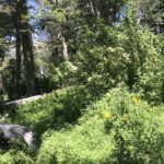
We will resume the trekking and you will begin to see Lengas that will later become a dense forest that will accompany us for a long time. If you come along this path in summer you will see beautiful Amancay Flowers (spanish) on the side of the path that adorn the forest.
This hill is located near the town of Colonia Suiza. Its summit has a height of 1,800 meters above sea level. and the trails combine sections of tall forest with huge granite rock formations.
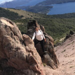
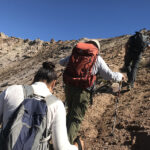
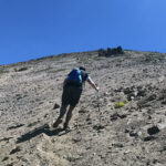
Halfway through the trek we will leave the forest and the landscape will change completely with a high mountain relief. We will have to ascend a section with a very steep slope, we will do it in a zig zag shape and helping ourselves with the poles to be more secure.
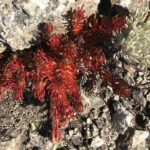
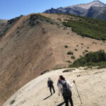
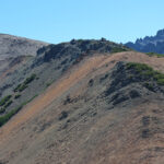
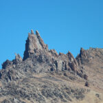
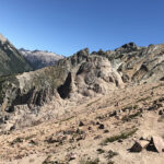
After crossing this section, the path disappears and we will walk along the edge of the mountain between granite rock formations with very particular shapes due to the erosion suffered. The lengas will become short, squat, and then the vegetation will be limited to beautiful flowers adapted to the high Andean climate and relief.
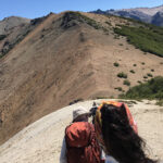
We will reach the pre-summit and you will get beautiful views of the lakes and mountains. It will be a good occasion to rest or have lunch. To our left, you will see Cerro Catedral (where the Refuge Frey is located) and to our left, Cerro Goye.
From here, each step we advance will raise us higher and give us a beautiful view of the Lake. Due to the altitude, it is very likely to find condors at any time of the year.
The path to the summit is shorter than it seems. When you get there, you will have a 360º panoramic view from Cordón Cuyín Manzano to Cerro Tronador. It will be an excellent opportunity for you to learn a little about the National Park and its hills.
The way back is the same as the way up (although there is another longer trekking option going through Cerro Goye and ending in the town of Colonia Suiza).
Do you dare to walk a little-known path in Bariloche?
Views: 48
